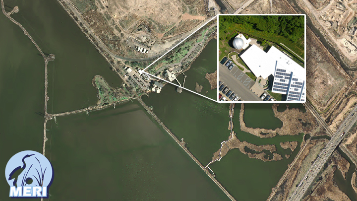
| The Geographic Information Systems (GIS) group of the Commission is responsible for the creation, maintenance and dissemination of spatial information pertaining to the Hackensack Meadowlands District and the region. Our goal is to help the Commission communicate geographically with District towns, planners, emergency officials, DPW, construction departments and engineers, and support the research activities of the Meadowlands Environmental Research Institute (MERI). An important component of our mission is to support our District municipalities by providing access to GIS data and tools.
The Commission has been using and building its GIS infrastructure since 1992. In 1998 the GIS group became part of MERI which is the scientific arm of the Commission. MERI-GIS has three full-time professional staff and an assortment of specialized research fellows. |
