CLICK ON THE TITLE TO ACCESS
(File size is indicated in parentheses. A high speed internet connection is recommended.)
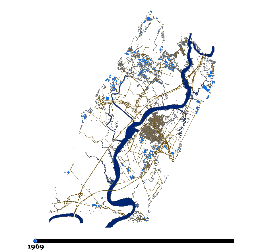
Evolution of Building Footprints within the Hackensack Meadowlands District
Description: Historical aerial photography from 1969, 1978, 1985, 1992, and 2002 was
used to determine evolution of building footprints over time. (231KB)
Flying the Hackensack Watershed
Description: Simulated flight path using satellite imagery and aerial photography.
Travel from the NJ Meadowlands Environment Center in Lyndhurst northward along the
watershed to Lake Tappan, before returning southward along the Hudson and
Hackensack Rivers. (149MB)
Keegan Landfill, Current Landuse
Description: Three dimensional visualization of the Keegan Landfill. (4MB)
Keegan Landfill, Potential Openspace Landuse
Description: Three dimensional visualization of a potential landuse consisting of open space. (5MB)
Keegan Landfill, Potential Recreational Landuse with Golf Course
Description: Three dimensional visualization of a potential landuse containing a golf course,
a ball field and a playing court. (5MB)
Keegan Landfill, Potential Recreational Landuse
Description: Three dimensional visualization of a potential landuse consisting of ball fields,
playing fields and playing courts. (5MB)
Tidal Flow at the MRI-2 Site
Description: 24-Hour Hydrodynamic Model animated loop of the Marsh Resources
Meadowlands Mitigation Bank, Phase 2. Water depth depicted in feet. (28MB)