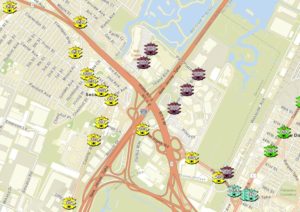
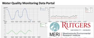
Below are MERI’s ArcGIS Online mapping applications published by the GIS department. This ArcGIS online page has a goal of pushing MERI’s data, research, and information out to the public. Click on the images below to be directed to the web application.
Meadowlands Environmental Site Investigation Compilation (MESIC) Web Application
Meadowlands Adaptive Signal System for Traffic Reduction (MASSTR) Web Application
Meadowlands Water Quality Monitoring Station Web Application


